
Aerial Services
Aerial Services Overview
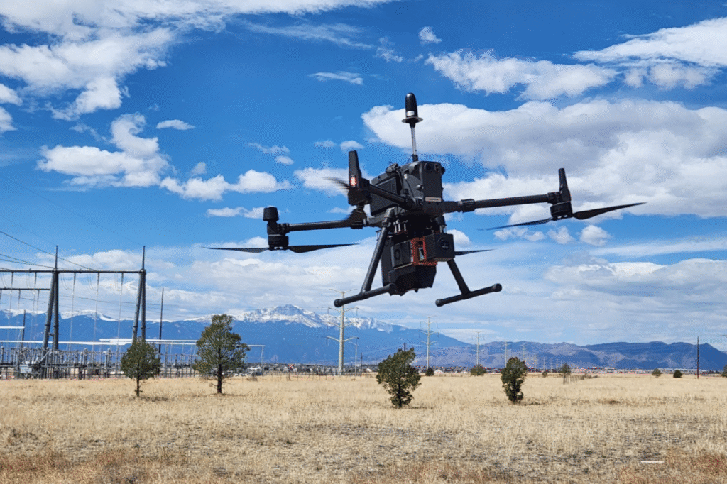
At KALPTRU, we provide advanced aerial drone services that deliver accurate, real-time data across diverse industries. Our unmanned aerial systems are equipped with high-resolution cameras, thermal imaging, LiDAR, and GPS technologies — enabling precise mapping, inspection, monitoring, and surveying.
Whether it’s a road construction project, a dense forest area, a mining zone, or urban infrastructure, our aerial services are designed to operate efficiently in complex environments. We help clients gain actionable insights, reduce fieldwork time, and lower operational costs — all while ensuring safety and environmental compliance.
Our Services
Our Products
Aerial Services We Provide
Survey & Mapping
Services- Road Survey
- Forest Survey
- Mining Survey
- Urban Planning Survey
- Railway Survey
- Archaeological Survey
Inspection
Services- Solar Inspection
- Powerline Inspection
- Wind Turbine Inspection
- Cell Tower Inspection
- Infrastructure Inspection
- Industrial Inspection
Agriculture
Services- Crop Spraying
- Seed Dropping
- Crop Health Monitoring
- Crop Counting
Surveillance
Services- Border Security
- Emergency Response
- Forest Surveillance
- City Surveillance